


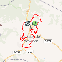

19,2 km | 27 km-effort
Un jour de randonnée, huit jours de santé


Kostenlosegpshiking-Anwendung
 SityTrail
IGN / Geografische Institute
SityTrail World
Die Welt öffnet sich für Sie
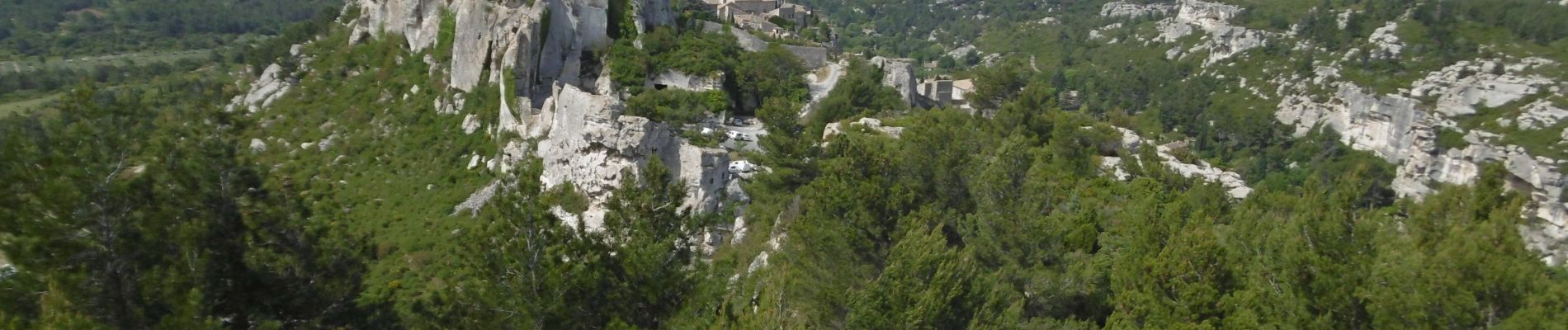
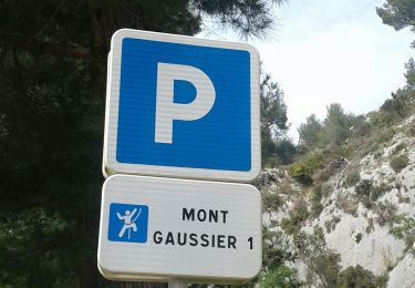
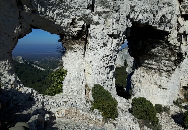
Tour Wandern von 8,2 km verfügbar auf Provence-Alpes-Côte d'Azur, Bouches-du-Rhône, Les Baux-de-Provence. Diese Tour wird von La Draille vorgeschlagen.
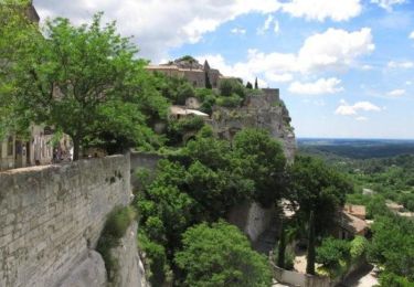
Départ d'un des parkings des Carrières de Lumière. Face à l'entrée du site, débuter par un sentier qui monte sur la droite.


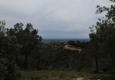
Wandern

Wandern
Mountainbike
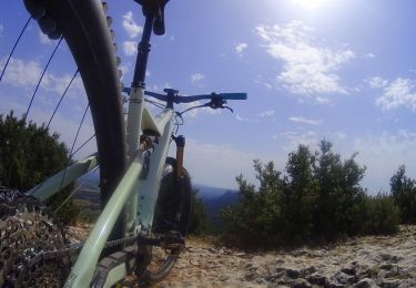
Mountainbike
Mountainbike

Kutsche fahren
Wandern

Wandern
Wandern